Geographic Information System

A
Geographic Information System (GIS)
is a system of computer applications that enables you to create,
view, manipulate and analyze spatial diverse information from
multiple sources in a single location. In most cases, datasets
used in GIS are grouped into categories for easy storage and
use. The data sets that a GIS can support can be divided into
two main parts: Graphical (spatial) information and Tabular
(attribute) information. Spatial data is georeferenced or
location-specific data that is graphically displayed on a
computer screen. All graphic information is called a feature.
Features can be points, lines, and even polygons.
Attribute or table information is text-based or numeric
information that describes each characteristic. Tabular
information is linked to graphical information and contains a
unique ID number used to represent each point, line, or polygon.
Examples of tabular data include addresses, coordinates,
regions, longitudes, sales information, and street names. The
possibilities for data mapping between tabular and graphical
information are endless.

Our Approach
Geographic Information Systems are powerful decision-support
tools for any business or industry because they enable the
analysis of environmental, demographic, and topographical data.
Data intelligence assembled from GIS applications helps
businesses, industries, and consumers make informed decisions.
Mapping
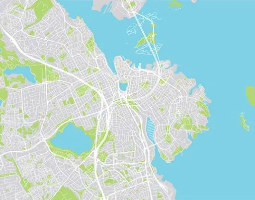
GIS can be used to visually interpret data. Google Maps is
a great example of his web-based GIS mapping solution that
people use for everyday navigation purposes.
Telecommunications and network services
Organizations can integrate geographic data into complex
network design, optimization, planning, and maintenance
activities. This data improves communication processes
through better customer relationship management and
location-based services.
Accident analysis and hotspot analysis
GIS data can help identify accident sites and use data
intelligence to optimize the road network. This
intelligence improves road safety and enables better
traffic management.
Urban Planning
GIS data analyzes the direction of city growth and
expansion. Properly used, new locations for further
development can be found, considering the various factors
necessary for successful construction.
Transport Planning
GIS data is often used to manage transportation problems.
By adding environmental and current data to a GIS
platform, companies can plan new road and rail routes.
Environmental Impact Assessment
Data collected through GIS applications are essential to
conserving natural resources and protecting the
environment. Impact statements assess the extent of human
impact on the environment. This can be viewed through GIS
integration.
Contact Us
Looking for Info, or Tech?
Solve queries, get customized solutions, project details and
quotes, here: