Smart Landslide Early Warning System
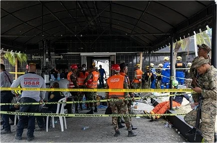
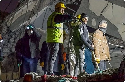
Landslides strike with little rhyme or warning, endangering communities, blocking critical roadways, damaging infrastructure, and costing lives. Decision-makers need more than intuition in hilly and mountainous regions. They need something like predictive insights based on data, not guesswork. Too often, emergency teams react only after a disaster has occurred. With increasing extreme weather events, the need for earlier detection and fast, reliable forecasting has never been greater. That is where an early warning system in disaster management comes into the picture.
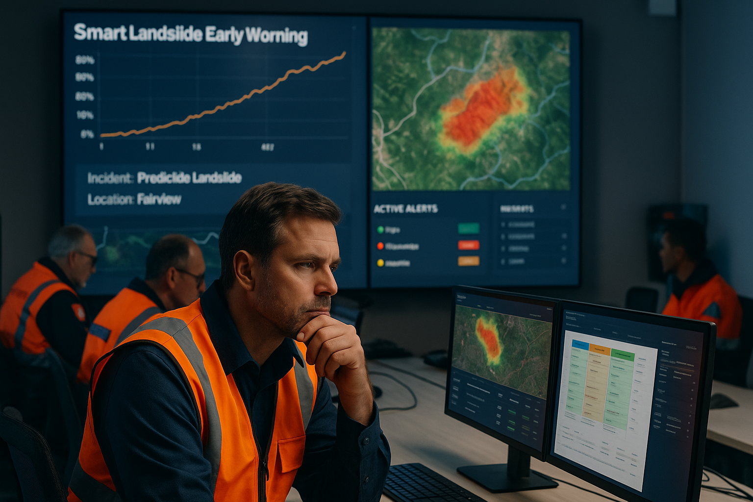
Smart Landslide Early Warning System is an advanced AI and GIS-powered solution that gives disaster management teams real-time landslide risk insights so they can act faster, respond smarter, and protect lives and infrastructure.
What Our Early Warning System In Disaster Management Does
The Smart Landslide Early Warning System continuously collects data from multiple sources and provides a complete picture of landslide risk:


Using advanced AI and predictive analytics, it detects early signals of potential landslides and delivers actionable insights to teams on the ground.
Key Features
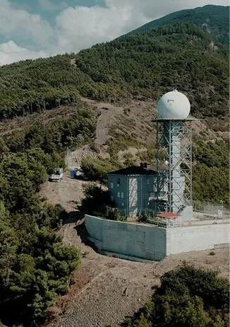
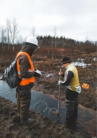
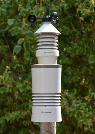
The system continuously monitors critical factors that influence landslides, including:
- Rainfall intensity and duration
- Soil moisture levels
- Terrain slope and land movement
- Weather conditions and forecasts
This constant monitoring ensures no early warning signs are missed.
All incoming data is analyzed using AI models that:
- Compare current conditions with past landslide events
- Identify unusual changes or dangerous thresholds
- Predict zones where landslides are likely to occur
Risk levels are updated automatically as conditions change.
The system displays insights through:
- Easy-to-read maps highlighting high, medium, and low-risk areas
- Clear dashboards for command centers and decision-makers
- Location-based views for roads, settlements, and infrastructure
This helps teams quickly understand where action is needed.
When risk levels cross safe limits, the system sends:
- Early alerts via SMS, email, or system notifications
- Location-specific warnings
- Actionable alerts that support timely evacuation and preparedness
Beyond alerts, the system helps authorities:
- Plan resource deployment in advance
- Prepare evacuation or road closure strategies
- Track preparedness measures during high-risk periods
After an event, the system generates:
- Detailed reports for analysis and compliance
- Insights to improve future preparedness
- Historical data for long-term risk planning
Key Outcomes

Early risk identification
Faster decision-making

Improved resource allocation

Visual insights for field teams

Clear reports for planning
Fits government/ disaster management requirements

Why Choose Us ?
Deep expertise in
AI, GIS, and
disaster analytics

Proven success
with real-world
emergency
applications